

Southeast Michigan snow totals: Here's how much snow fell Wednesday and Thursday

Southeast Michigan snow totals
Official snow totals are starting to come in Thursday. Most areas of Southeast Michigan received 4.5 inches, with other areas receiving more and other areas waking up to less snow.
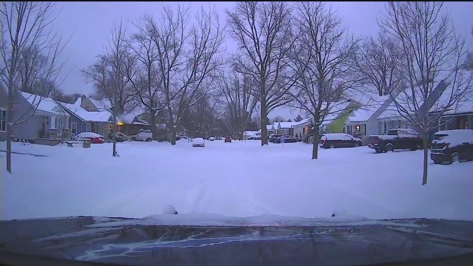
DETROIT (FOX 2) - Southeast Michigan picked up several inches of snow during the most significant snowmaker the area has seen all winter.
Snow started falling Wednesday evening and into the early hours of Thursday, dropping as much as 6.5 inches in some areas.

Snow moves out, but squalls possible later Thursday in Southeast Michigan
Overnight snow is gone now, but the chance for snow squalls remains Thursday for Southeast Michigan.
Southeast Michigan snow totals as of 9:40 a.m.
Lapeer – 6.5 inches
Shelby Township – 6 inches
Grand Blanc – 5.8 inches
Birch Run – 5.2 inches
Flint – 4.6 inches
Wolverine Lake – 4.5 inches
Midland – 4 inches
Howell – 4 inches
Detroit Metro Airport – 3.6 inches
Ann Arbor – 3.6 inches
More snow in the forecast
Though the system responsible for Thursday's numbers has left the area, more snow is on the way.
Timeline:
According to the National Weather Service, any area of Southeast Michigan could see snow squalls between 1-8 p.m.
These squalls will have minimal accumulation - a dusting to ½ inch - but can quickly lead to zero visibility. Temperatures will be in the 20s, meaning that roads could also freeze within minutes if a squall moves through the area.
Looking forward, we'll see a few more inches added to the snow totals headed into Saturday morning.
Current models show that 2-4 inches of snow are expected from Friday night through Saturday. Another inch or so of snow is possible Sunday.

Is it illegal to drive with snow on your car in Michigan?
Get your snow scrapers ready – you're going to need them on Thursday morning.
The Source: Information from the National Weather Service and FOX 2 meteorologist Derek Kevra was used to write this story.