

Metro Detroit weather: Cold start to the week but 50s and 60s are on the way
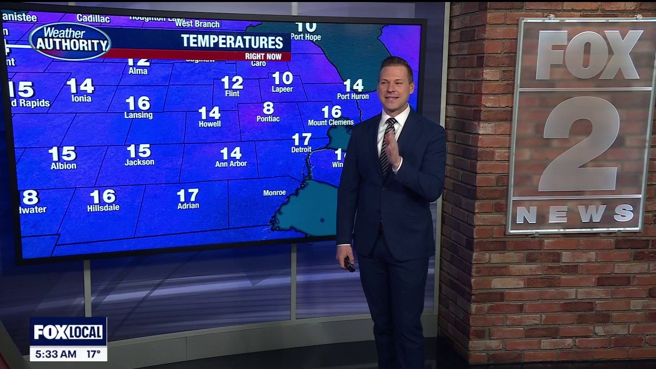
DETROIT (FOX 2) - It’s a cold start across Metro Detroit with temperatures down in the teens early this morning, but at least we’ve got sunshine on our side.
With a bright sky overhead, we’ll climb to about 36 degrees this afternoon. It’s the coldest day of the week, no question — but also probably the prettiest. If you’ve been missing the sun, today’s your day. We won’t see a ton of it as we move deeper into the week.
The overall trend is clear: we’re warming up, and that push begins Tuesday.

Warmer temps move in
Tuesday morning starts near the freezing mark, and that could create a few slick spots during the early commute. There’s a chance for light freezing drizzle around daybreak, which doesn’t take much to cause problems on untreated roads. By afternoon, temperatures rebound to around 42 degrees with spotty showers developing.
We’ll need to keep an eye on Tuesday night as well, because another round of freezing rain is possible if temperatures hover close to 32.

Wednesday looks milder, with highs reaching about 46 degrees. Clouds stick around, and rain chances increase as we head toward the end of the work week.
By Thursday and into the weekend, we’re talking about a very different feel compared to today. Highs surge into the 50s and even 60s, but that warmth comes with continued rain chances each day. It won’t be a washout the entire time, but umbrellas will likely stay within reach.
Soak up today’s sunshine. It’s the coldest day in the seven-day forecast — and the brightest. Warmer air is coming, but it’s bringing a much more unsettled pattern with it.
