Metro Detroit weather: Cooler day ahead of potentially severe storms Wednesday

Cooler day today but more storms arrive Wednesday
Another round of severe weather is likely Wednesday - Thursday
DETROIT (FOX 2) - Try to enjoy today’s mix of sun and clouds because things are about to change in a big way.
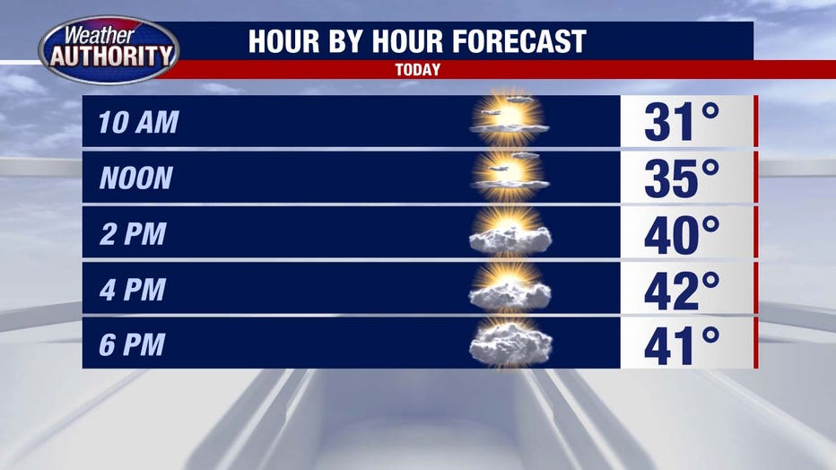
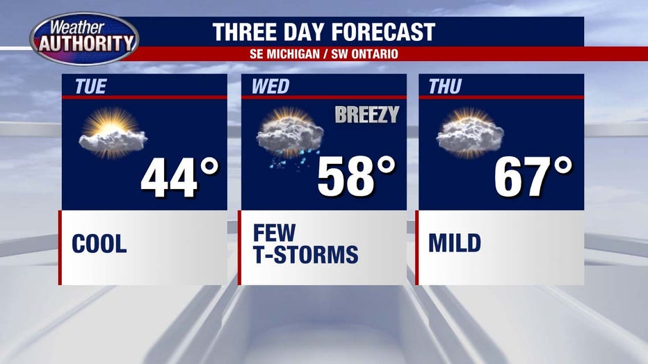
Highs this afternoon peak around 44 degrees, which is cool for this time of year, but at least it’s dry. Winds stay light through most of the day, and we hold onto some sunshine between the clouds. As we head into tonight, conditions become breezier with clouds continuing to thicken. Lows drop to around 35, but thanks to increasing winds, it may feel a bit colder by morning.

What we know:
Wednesday is shaping up to be an active and potentially dangerous weather day. A warm front surges in from the south, rapidly increasing temperatures into the upper 50s by the afternoon and continuing to rise into the mid-60s by Wednesday night.
That surge of warmth, combined with increasing moisture and strong winds aloft, will create an environment favorable for severe thunderstorms. Unlike many storm setups where we see one main round, this system will bring multiple waves of storms through the afternoon, evening, and overnight hours.

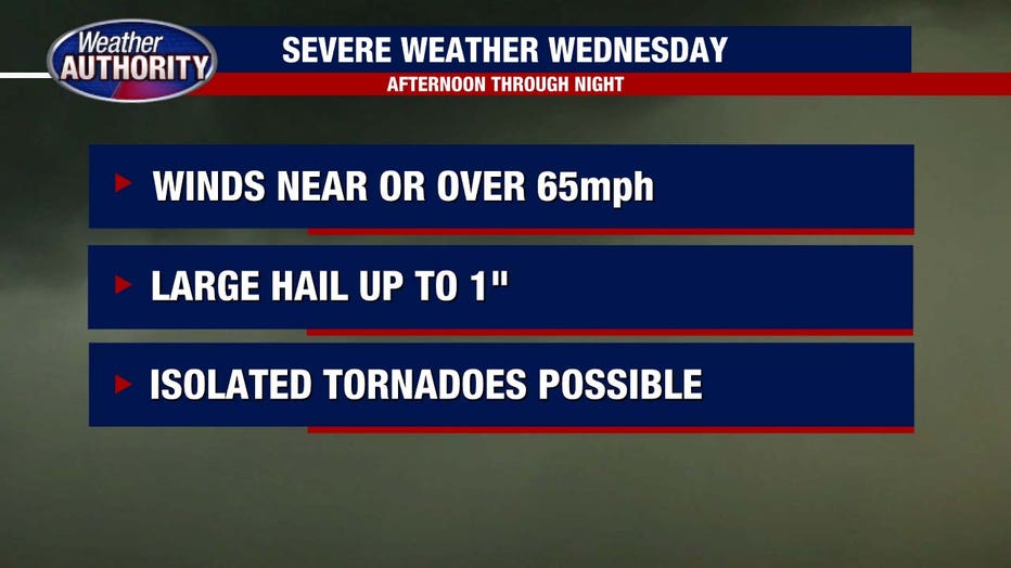
The biggest concerns with these storms will be damaging winds, with gusts potentially reaching 60 miles per hour or higher. Large hail is also a possibility, and given the amount of wind shear in the atmosphere, an isolated tornado or two cannot be ruled out. The scattered nature of these storms means not everyone will see severe weather, but those who do could experience quick-hitting but intense storms capable of causing damage.
What we don't know:
Timing remains somewhat uncertain, but the first storms could develop in the afternoon, with additional rounds firing up in the evening and lingering through the overnight hours. It’s the type of setup where conditions can change rapidly, so it’s important to stay weather-aware and have a way to receive warnings, especially after dark when severe storms become even more dangerous.
What's next:
By Thursday morning, the last of the storms will still be moving through, but things will gradually improve as the system pushes east. Skies turn partly cloudy by the afternoon, and temperatures continue their climb, reaching a much milder 67 degrees. That’s a dramatic shift from today’s 40s, a classic April rollercoaster.

The good news is that once the storms clear, we’ll get a bit of a break before the next active weather pattern moves in.

