

Metro Detroit weather: Morning snow to start the coldest day of the week
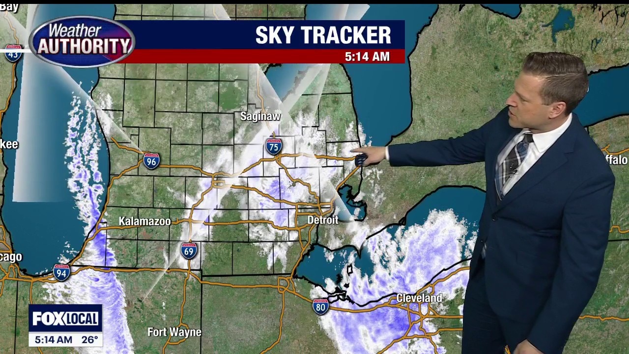
DETROIT (FOX 2) - Snow is setting the tone for this Monday morning, with periods of moderate to briefly heavy bursts coming down early before tapering off around 8 or 9 a.m.
Roads could stay slick through the commute, and we may squeeze out another quarter to half an inch before it fully winds down. Once the snow wraps up, the cold settles in and doesn’t budge.

Highs only reach 27° this afternoon, and with a northwest wind cranking at 15 to 25 mph, it’s going to feel closer to 13° for much of the day. This is the coldest day in the seven-day stretch, so if you’re going to bundle up, today’s the day to do it. Tonight turns partly cloudy and quiet but still cold, dropping to 16° with a wind chill near 9°.

More snow in the forecast
Tuesday brings mostly cloudy skies and another quick mover — a classic clipper — sliding in by evening. That system looks fast and fairly light, but it should bring about an inch of snow Tuesday evening into the overnight hours with highs near 32° before it arrives.
A few flurries may linger into Wednesday with highs around 34°, and then we keep an eye on Thursday.

The snow threat we were watching continues to look less impressive, but it’s not off the board just yet. For now, the bigger headline is the sharp cold today, followed by a couple of quick, light snow chances as we work through midweek.