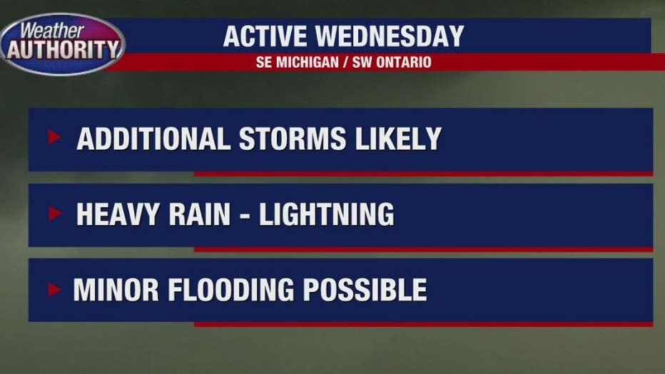
Thunderstorms pass through Southeast Michigan with chance for more severe weather

DETROIT (FOX 2) - Thunderstorms moved in Wednesday afternoon, and although many of the weather warnings have expired, we're keeping a close eye on the severe threat.
Stephanie Mead says we're finishing up the first wave of severe weather this afternoon - but we're not quite finished yet! The second round of possible strong storms is slated to arrive mid-evening.
A severe thunderstorm watch is in effect for Monroe and Lenawee counties until 10 p.m.
We could see an isolated stronger to severe storm develop by 9pm with heavy rain and strong winds. All the of the storm activity will be out of here by midnight tonight. Lows will remain warm in the lower 70s.
The storms have dropped the temperatures across much of the area to the lower 70s.
The National Weather Service said torrential rain is expected, and rainfall rates could be up to or more than 2 inches an hour at some point.
The greatest threat for severe weather is between 2 and 11 p.m.
Track severe thunderstorms in Metro Detroit: wind and hail likely, tornado possible
It's most likely that we're dry through early afternoon with storms rolling in mid/late afternoon and hanging through the evening.

Lighting strike caught on camera
A FOX 2 crew was waiting out Wednesday's severe weather when a bolt of lighting struck right in front of them.
Storms fade around midnight, but the heat will stick through the week. A cold front brings the chance for storms late Friday and leads to a cooler weekend.