

Severe thunderstorm watch issued for 12 southeast Michigan counties as wildfire smoke lingers
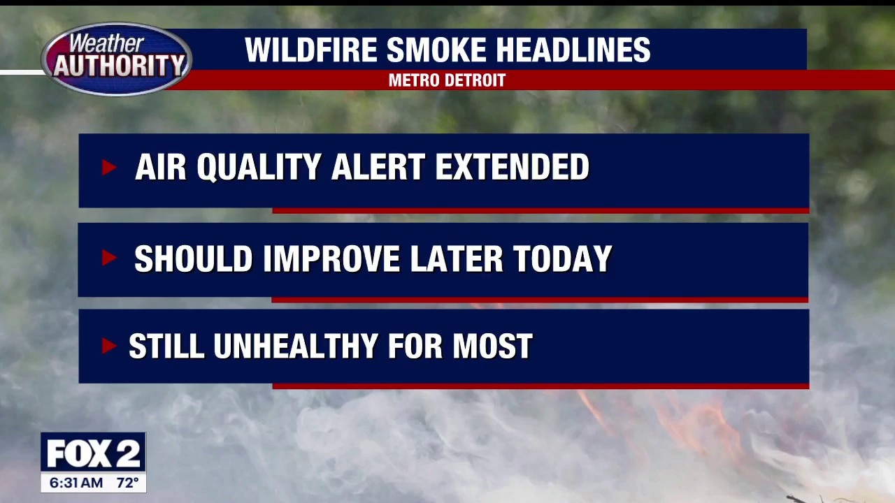
Air Quality Alert
The Air Quality Alert has been extended through today for smoke from the Canadian wildfires. Some improvement could occur once a cold front goes through today and changes our wind direction. Meteorologist Lori Pinson has your forecast.
DETROIT (FOX 2) - A severe thunderstorm watch is in effect until 8 p.m. Saturday for 12 counties in southeast Michigan as wildfire smoke temporarily moves out of the area.
The watch includes Genesee, Lapeer, Lenawee, Livingston, Macomb, Monroe, Oakland, Sanilac, Shiawassee, St. Clair, Washtenaw and Wayne counties.
Timeline:
Showers and thunderstorms are possible, mainly before 5 p.m. Damaging wind gusts are the primary threat, though isolated storms could also produce large hail or a tornado.
Wildfire smoke improved across southern Michigan early Saturday, but another plume is expected to move into the state late Saturday evening and linger into Sunday.
The Michigan Department of Environment, Great Lakes, and Energy has extended an Air Quality Alert through Sunday for Genesee, Lapeer, Lenawee, Livingston, Macomb, Monroe, Oakland, Shiawassee, St. Clair, Washtenaw and Wayne counties because of elevated levels of fine particulate pollution from Canadian wildfire smoke.
Air quality on Sunday is expected to range from Unhealthy for Sensitive Groups across the Lower Peninsula to Unhealthy across the Upper Peninsula.
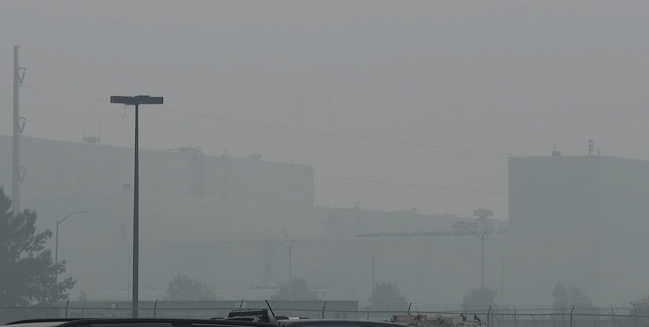
Detroit air quality: Less smoky weekend but not clear
The air in Detroit improved overnight and into the early weekend, but poor conditions may return again Saturday night.
What you can do:
Officials recommend everyone seek cleaner air indoors and limit outdoor activity.
What's next:
Patchy smoke is expected before 8 a.m. Sunday, followed by mostly sunny skies with a high near 82 degrees.
Sunday night is expected to be mostly clear, with a low around 63 degrees.
The Source: Information came from FOX 2 metrologists and the National Weather Service.